Rupture 163421
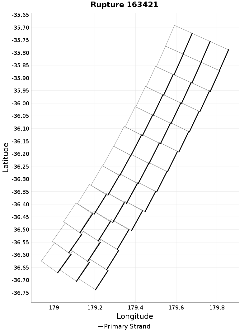
| Length (km) | Magnitude | # Subsections | # Clusters | Area (km^2) |
|---|---|---|---|---|
| 119.7 | 7.2 | 36 | 1 | 3,590.5 |
| Maximum Jump Distance (km) | Cumulative Jump Distance (km) | Ideal Length Ratio | Ideal Length Difference | Rake (degrees) |
| 0.0 | 0.0 | 0.99113625 | -1.1 | 0.0 |
| Cumulative Rake Change (degrees) | # Mechanism Changes | Cumulative Azimuth Change (degrees) | BS '16-'17 Prob | |
| 0.0 | 0.0 | 813.3 | 1 |
Text representation:
[10000:1645,1660,1675,1690,1705,1720,1735,1750,1765,1780,1795,1810,1646,1661,1676,1691,1706,1721,1736,1751,1766,1781,1796,1811,1647,1662,1677,1692,1707,1722,1737,1752,1767,1782,1797,1812]
Fault section list. First section listed is South West relative to the last section.
- Hikurangi, Kermadec to Louisville ridge, 10km - with slip deficit flattened near east cape
- 1645, 1660, 1675, 1690, 1705, 1720, 1735, 1750, 1765, 1780, 1795, 1810, 1646, 1661, 1676, 1691, 1706, 1721, 1736, 1751, 1766, 1781, 1796, 1811, 1647, 1662, 1677, 1692, 1707, 1722, 1737, 1752, 1767, 1782, 1797, 1812