Rupture 17874
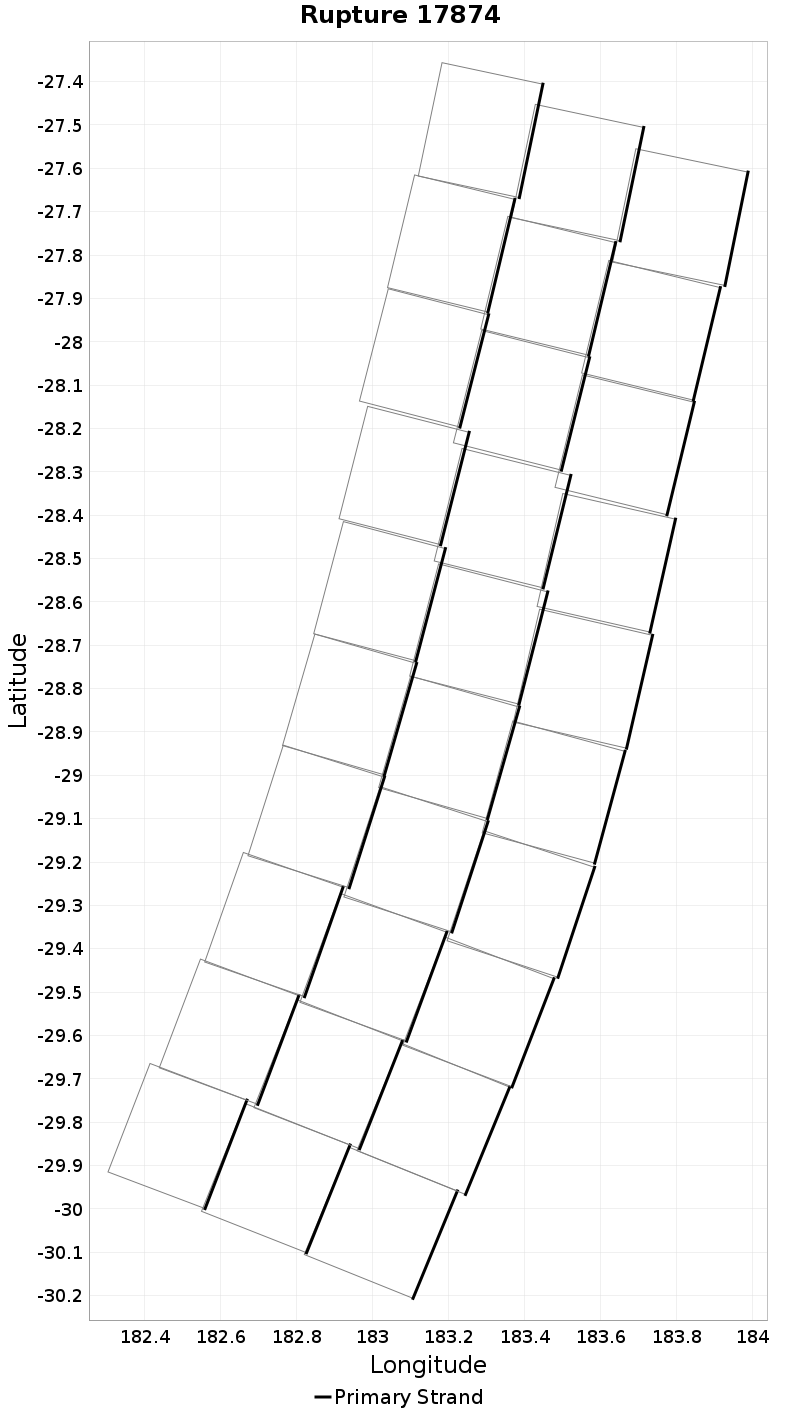
| Length (km) | Magnitude | # Subsections | # Clusters | Area (km^2) |
|---|---|---|---|---|
| 297 | 8.1 | 30 | 1 | 26,748.2 |
| Maximum Jump Distance (km) | Cumulative Jump Distance (km) | Ideal Length Ratio | Ideal Length Difference | Rake (degrees) |
| 0.0 | 0.0 | 0.9483593 | -16.2 | 0.0 |
| Cumulative Rake Change (degrees) | # Mechanism Changes | Cumulative Azimuth Change (degrees) | BS '16-'17 Prob | |
| 0.0 | 0.0 | 768.3 | 1 |
Text representation:
[10000:335,340,345,350,355,360,365,370,375,380,336,341,346,351,356,361,366,371,376,381,337,342,347,352,357,362,367,372,377,382]
Fault section list. First section listed is South West relative to the last section.
- Hikurangi, Kermadec to Louisville ridge, 30km - with slip deficit flattened near east cape
- 335, 340, 345, 350, 355, 360, 365, 370, 375, 380, 336, 341, 346, 351, 356, 361, 366, 371, 376, 381, 337, 342, 347, 352, 357, 362, 367, 372, 377, 382